TriniTuner.com  |  Latest Event:  

Forums

The official WAZE GPS navigation thread

this is how we do it.......

Moderator: 3ne2nr Mods

M_2NR
not Admin
Posts: 7247
Joined: December 18th, 2008, 9:46 pm

Re: Google MapMaker/OpenStreetMaps | Mapping Trinidad & Toba

Postby M_2NR » March 13th, 2012, 1:01 pm

ohhh good thing this bumped...
Bing maps were updated :D
and it has a good bit of coverage now for Trinidad
http://www.bing.com/maps/

SRASC
3NE 2NR Moderator
Posts: 3256
Joined: January 13th, 2008, 10:53 am

Re: Google MapMaker/OpenStreetMaps | Mapping Trinidad & Toba

Postby SRASC » March 13th, 2012, 10:26 pm

^^^ hope this extends to Facebook, which for some God unknown reason they have decided to go with Bing rather than Google Maps which makes Trinidad essentially look like a desert

User avatar
Duane 3NE 2NR
Admin
Posts: 27247
Joined: March 24th, 2003, 10:27 am
Location: T&T
Contact:

Re: Google MapMaker/OpenStreetMaps | Mapping Trinidad & Toba

Postby Duane 3NE 2NR » March 13th, 2012, 10:35 pm

the satellite maps are still old and outdated from about 6 years ago.

M_2NR
not Admin
Posts: 7247
Joined: December 18th, 2008, 9:46 pm

Re: Google MapMaker/OpenStreetMaps | Mapping Trinidad & Toba

Postby M_2NR » March 13th, 2012, 11:10 pm

sadly no one wants to update their satt imagery :(

SRASC
3NE 2NR Moderator
Posts: 3256
Joined: January 13th, 2008, 10:53 am

Google MapMaker/OpenStreetMaps | Mapping Trinidad & Tobago

Postby SRASC » March 22nd, 2012, 6:16 pm

Looks like there are a good few changes to make to the maps...

M_2NR
not Admin
Posts: 7247
Joined: December 18th, 2008, 9:46 pm

Re: Google MapMaker/OpenStreetMaps | Mapping Trinidad & Toba

Postby M_2NR » March 31st, 2012, 2:25 pm


SRASC
3NE 2NR Moderator
Posts: 3256
Joined: January 13th, 2008, 10:53 am

Re: Google MapMaker/OpenStreetMaps | Mapping Trinidad & Toba

Postby SRASC » April 5th, 2012, 9:51 pm

Image
March 2012 Google Earth Sightseer Newsletter

SRASC
3NE 2NR Moderator
Posts: 3256
Joined: January 13th, 2008, 10:53 am

Re: Google MapMaker/OpenStreetMaps | Mapping Trinidad & Toba

Postby SRASC » May 15th, 2012, 10:50 pm

Good news, Google finally aligned the road maps to the satellite imagery
Image
Bad news, its only on Google Earth as of now.

User avatar
maj. tom
TriniTuner 24-7
Posts: 10981
Joined: March 16th, 2012, 10:47 am
Location: ᑐᑌᑎᕮ

Re: Google MapMaker/OpenStreetMaps | Mapping Trinidad & Toba

Postby maj. tom » May 15th, 2012, 10:55 pm

lol, it only took >6 years of reports and complaints for someone at google inc. to address the problem.

Well they bound to push the same google earth map revision unto google maps soon enough.

redmanjp
TriniTuner 24-7
Posts: 16283
Joined: September 22nd, 2009, 11:01 pm
Contact:

Re: Google MapMaker/OpenStreetMaps | Mapping T&T

Postby redmanjp » May 15th, 2012, 11:18 pm

yayyy!

User avatar
Corn Bird
Sweet on this forum
Posts: 301
Joined: July 12th, 2011, 2:45 am
Location: captivity

Re: Google MapMaker/OpenStreetMaps | Mapping T&T

Postby Corn Bird » June 26th, 2012, 1:22 am

Bing Maps adds 165TB of new images of Earth

Doubling down, Bing Maps adds a stockpile of new satellite and photo images that cover 38 million square kilometers of the world.

http://news.cnet.com/8301-10805_3-57460264-75/bing-maps-adds-165tb-of-new-images-of-earth/


maps for trinidad look good.

by the way

https://play.google.com/store/apps/details?id=com.mapfactor.navigator&hl=en

on android works with OpenStreetMaps for trinidad

SRASC
3NE 2NR Moderator
Posts: 3256
Joined: January 13th, 2008, 10:53 am

Re: Google MapMaker/OpenStreetMaps | Mapping Trinidad & Toba

Postby SRASC » June 28th, 2012, 1:00 pm

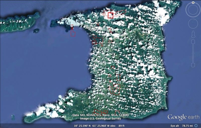
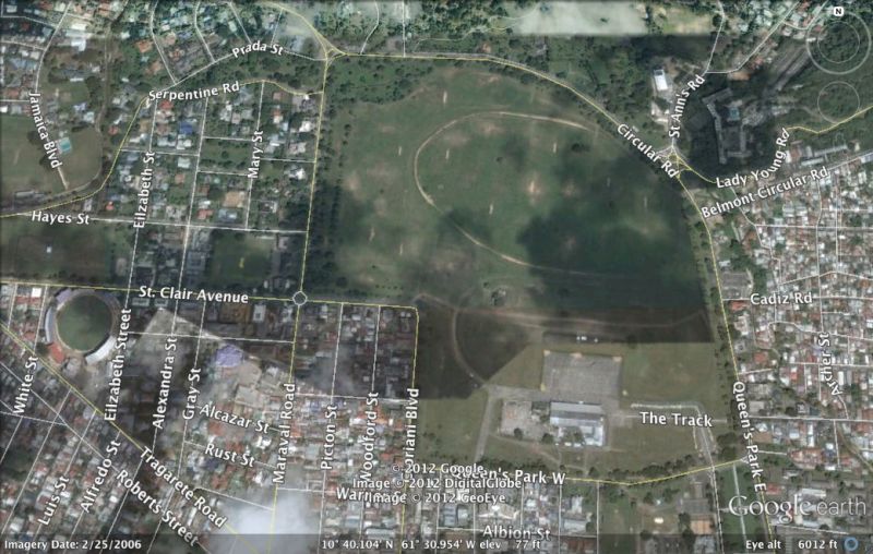
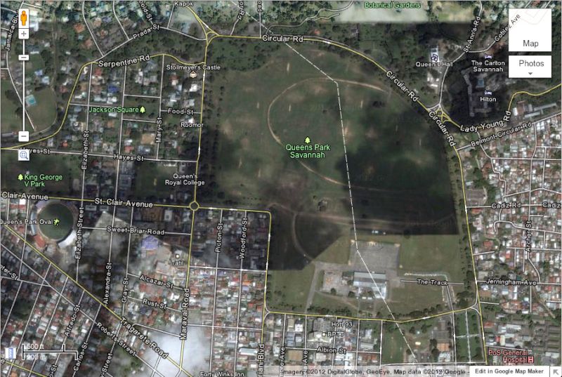
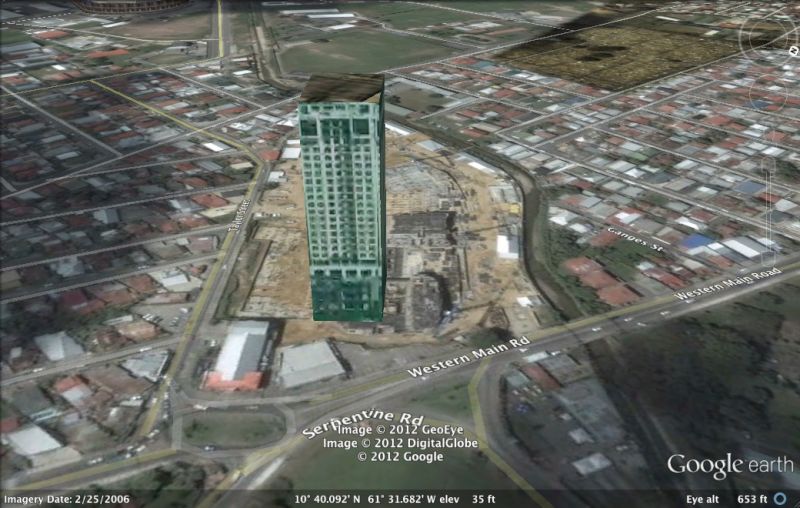
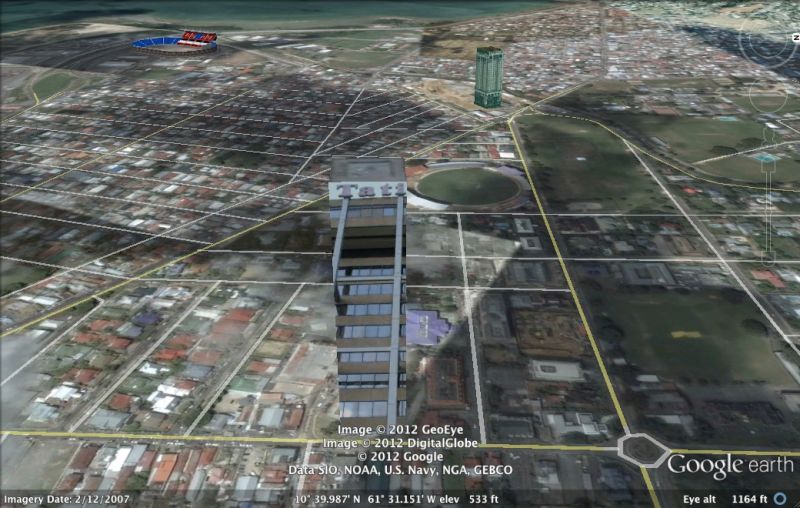
SRASC wrote:Good news, Google finally aligned the road maps to the satellite imagery
Image
Bad news, its only on Google Earth as of now.


Not anymore
Image
Though it doesn't turn up on smartphone versions of Google Maps as of now

M_2NR
not Admin
Posts: 7247
Joined: December 18th, 2008, 9:46 pm

Google MapMaker/OpenStreetMaps | Mapping T&T

Postby M_2NR » June 30th, 2012, 11:46 am

It was working for google earth mobile previously but guess what. Last night this appeared...

It's all lined up.
ImageUploadedByTapatalk1341071173.860429.jpg

User avatar
maj. tom
TriniTuner 24-7
Posts: 10981
Joined: March 16th, 2012, 10:47 am
Location: ᑐᑌᑎᕮ

Re: Google MapMaker/OpenStreetMaps | Mapping T&T

Postby maj. tom » June 30th, 2012, 11:50 am

And 90% of the street names are gone in both map and satellite! I hope that's just because they are in the process of upgrading and updating and will be repaired soon.

SRASC
3NE 2NR Moderator
Posts: 3256
Joined: January 13th, 2008, 10:53 am

Google MapMaker/OpenStreetMaps | Mapping T&T

Postby SRASC » June 30th, 2012, 12:40 pm

M_2NR wrote:It was working for google earth mobile previously but guess what. Last night this appeared...

It's all lined up.
ImageUploadedByTapatalk1341071173.860429.jpg


Finally. Now about that updated imagery?

M_2NR
not Admin
Posts: 7247
Joined: December 18th, 2008, 9:46 pm

Re: Google MapMaker/OpenStreetMaps | Mapping T&T

Postby M_2NR » June 30th, 2012, 4:10 pm

i always heard about mapquest... never tried it until today... seems to replace NavFone/mnav 50$ app. only thing is that streets don't work, you need to enter GPS cordinates and thats... a PITA for iOS.

SRASC
3NE 2NR Moderator
Posts: 3256
Joined: January 13th, 2008, 10:53 am

Re: Google MapMaker/OpenStreetMaps | Mapping T&T

Postby SRASC » July 10th, 2012, 11:20 pm

Image

Have some 3D places in Trinidad. Surprised me. Others include

Image

Image

Image

User avatar
janfar
punchin NOS
Posts: 3367
Joined: August 13th, 2004, 1:39 am
Location: studying pigonometry...

Re: Google MapMaker/OpenStreetMaps | Mapping T&T

Postby janfar » July 11th, 2012, 5:28 am

All my updates for Mayaro has been approved and now shows on Google Maps... wooohoooo...

Hopefully the image itself could be updated so my house could replace the jungle that was there 10 years ago.

M_2NR
not Admin
Posts: 7247
Joined: December 18th, 2008, 9:46 pm

Google MapMaker/OpenStreetMaps | Mapping T&T

Postby M_2NR » July 11th, 2012, 7:42 pm

janfar wrote:All my updates for Mayaro has been approved and now shows on Google Maps... wooohoooo...

Hopefully the image itself could be updated so my house could replace the jungle that was there 10 years ago.

Bess. The only issue I seeing now is that streets that had names previously don't have name now :( (not mayaro eh, I mean in general)

SRASC
3NE 2NR Moderator
Posts: 3256
Joined: January 13th, 2008, 10:53 am

Re: Google MapMaker/OpenStreetMaps | Mapping T&T

Postby SRASC » July 15th, 2012, 8:01 pm

Trinidad sure ain't looking like it used to...

Image
Google Map Maker

Image
Google Maps

User avatar
janfar
punchin NOS
Posts: 3367
Joined: August 13th, 2004, 1:39 am
Location: studying pigonometry...

Re: Google MapMaker/OpenStreetMaps | Mapping T&T

Postby janfar » July 16th, 2012, 9:06 am

Porbably need to go in and rename the un-named again.

M_2NR
not Admin
Posts: 7247
Joined: December 18th, 2008, 9:46 pm

Re: Google MapMaker/OpenStreetMaps | Mapping T&T

Postby M_2NR » July 16th, 2012, 11:51 am

janfar wrote:Porbably need to go in and rename the un-named again.

:shock:
btw anyone knows who did the openstreetmaps? looks like we'd have to do the reverse and pull names from there to google map maker...

BTW if you all on iOS, there is an app called twist, i don't know how they do it, but it's able to calculate routes using google map data.

SRASC
3NE 2NR Moderator
Posts: 3256
Joined: January 13th, 2008, 10:53 am

Re: Google MapMaker/OpenStreetMaps | Mapping T&T

Postby SRASC » July 16th, 2012, 11:56 am

Another thing for iOS device owners with Apple switching from Google Maps to their own data I'm wondering if there would be a Map Maker-esque thing for them as well. Hmmm
As far as the current state of Trinidad and Tobago in Google Map Maker I could only hope it's temporary. I remember when I added the interchange and the Aranguez overpass it temporarily disappeared but came back eventually. I hope it's the case this time as well. Either way I've written to Google about it.

redmanjp
TriniTuner 24-7
Posts: 16283
Joined: September 22nd, 2009, 11:01 pm
Contact:

Re: Google MapMaker/OpenStreetMaps | Mapping T&T

Postby redmanjp » July 16th, 2012, 12:01 pm

If the new traffic plan in Woodbrook & St. James is permanent the maps would have to be updated

M_2NR
not Admin
Posts: 7247
Joined: December 18th, 2008, 9:46 pm

Re: Google MapMaker/OpenStreetMaps | Mapping T&T

Postby M_2NR » July 16th, 2012, 12:06 pm

SRASC wrote:Another thing for iOS device owners with Apple switching from Google Maps to their own data I'm wondering if there would be a Map Maker-esque thing for them as well. Hmmm
As far as the current state of Trinidad and Tobago in Google Map Maker I could only hope it's temporary. I remember when I added the interchange and the Aranguez overpass it temporarily disappeared but came back eventually. I hope it's the case this time as well. Either way I've written to Google about it.

wait... the screenshot u posted from iOS 6 a time with a yellow/blue flyover section by grand bazaar... ent that was apple's map road layer?

SRASC
3NE 2NR Moderator
Posts: 3256
Joined: January 13th, 2008, 10:53 am

Re: Google MapMaker/OpenStreetMaps | Mapping T&T

Postby SRASC » July 16th, 2012, 12:08 pm

Image

This?

SRASC
3NE 2NR Moderator
Posts: 3256
Joined: January 13th, 2008, 10:53 am

Re: Google MapMaker/OpenStreetMaps | Mapping T&T

Postby SRASC » July 16th, 2012, 12:17 pm

redmanjp wrote:If the new traffic plan in Woodbrook & St. James is permanent the maps would have to be updated


Mentioned that in the message I sent them as well. I studying if to leave it for right now and see what happens after the trial period.

M_2NR
not Admin
Posts: 7247
Joined: December 18th, 2008, 9:46 pm

Re: Google MapMaker/OpenStreetMaps | Mapping T&T

Postby M_2NR » July 16th, 2012, 12:21 pm

SRASC wrote:[url]http://img.tapatalk.com/ba2d467c-3e23-767f.jpg
[/url]
This?

yup! that's apple maps right?

SRASC
3NE 2NR Moderator
Posts: 3256
Joined: January 13th, 2008, 10:53 am

Re: Google MapMaker/OpenStreetMaps | Mapping T&T

Postby SRASC » July 16th, 2012, 12:27 pm

Yup. Apple's. Though it has that we know that Trinidad in a road adding/changing mood lately so I feel this is something that would need to be updated regularly instead of waiting/hoping that Apple would.

Image
May have a glimmer of hope though. Apple Maps as seen in betas 1-3.

SRASC
3NE 2NR Moderator
Posts: 3256
Joined: January 13th, 2008, 10:53 am

Re: Google MapMaker/OpenStreetMaps | Mapping T&T

Postby SRASC » July 17th, 2012, 11:44 pm

In a reply to that message to Google about Map Maker's missing roads for Trinidad I was led to a link that states that while we can make changes in Google Map Maker for Trinidad that they will not be pushed to Maps, Earth, etc.

While you can make changes to the following countries on Google Map Maker, this data is not yet actively being added to Google Maps, Google Earth, and Google Maps for Mobile:
    Argentina
    Brazil
    Chile
    Colombia
    Jordan
    Lebanon
    Malaysia
    North Korea
    Oman
    Trinidad and Tobago


This strikes me as odd since most of the changes I've made are in fact accessible on Google Maps & Earth right now. Some of those changes were immediately pushed in fact when I checked them.
No answer concerning the more major issue at hand though.

Advertisement

Return to “Ole talk and more Ole talk”

Who is online

Users browsing this forum: Google [Bot], pugboy, VexXx Dogg and 137 guests