TriniTuner.com | Latest Event:


Moderator: 3ne2nr Mods

goalpost wrote:How did Jamaica fare?

#DidYouKnow that Trinidad and Tobago has had a history of hurricanes and storms, some of which have caused deaths, extensive damage to homes, and devastating impacts to livestock and agriculture throughout the years. ⛈️
Almost 100 years ago, the south-western region of Trinidad was struck by an unnamed 1933 Hurricane on June 27th, (photo 4). This led to eleven deaths and over a thousand people losing their homes. Hundreds of buildings in Erin were destroyed, and the Trinidad Petroleum Development Company was severely damaged. Total damages were estimated at 3 million dollars, with Cedros being the worst affected area. High winds downed power lines, and electricity was only able to be restored three days later due to the lack of paved roadways in the more rural areas of Trinidad.
Following this, Tobago was hit by Hurricane Flora (photo 3), a Category 3 hurricane on September 30th 1963. It caused catastrophic damage, with high tides that sank six ships in the Scarborough harbour. Eighteen people were killed, and there was severe damage to the Main Ridge Forest Reserve where 75% of the trees were blown down. Hurricane Flora’s fury resulted in $30 million US dollars of crop and property damage.
On August 14th 1974, Tropical Storm Alma made landfall in Trinidad (photo 2) and caused significant damage due to its high gusts of up to 147 kilometres per hour. Two persons died, over 800 homes were damaged, and costs for rebuilding were estimated as being up to $5 million US dollars.
In 1990, Tropical Storm Arthur clipped Tobago on July 25th (photo 1), where it caused landslides which severely damaged both electrical and water supply services.
During the past 30 years there have been a number of other storms that have either directly impacted or passed close enough to impact Trinidad and Tobago, such as Tropical Storm Fran (August 1990), Tropical Storm Bret (September 1993), Tropical Storm Joyce (October 2000), Hurricane Ivan (September 2004), Hurricane Emily (July 2005), Hurricane Felix (August 2007), Tropical Storm Bret (June 2017), and Tropical Storm Karen (September 2019).
Photo 1 shows the front page of the Trinidad Guardian newspaper, July 25th 1990.
Photo 2 shows the front page of the Daily Express newspaper, August 15th 1974.
Photo 3 shows the front page of The Nation newspaper, October 25th 1963.
Photo 4 shows an article from the Port of Spain Gazette newspaper, July 1st 1933.
These newspapers are all part of the National Archives of Trinidad and Tobago Newspaper Collection, and are available for viewing at our Public Search Room on St. Vincent Street, Port of Spain.
References: “Everything You Need To Know About Hurricanes”, The Office of Disaster Preparedness and Management, https://www.odpm.gov.tt/sites/default/f ... icanes.pdf.

Duane 3NE 2NR wrote:Saharan dust is pretty heavy today
g16split.jpg
redmanjp wrote:Beryl still destroying homes as a Cat.1 or was it the storm surge?
Dizzy28 wrote:Duane 3NE 2NR wrote:Saharan dust is pretty heavy today
g16split.jpg
Yess...leaving PoS to head to Piarco after lunch today and at first I thought rain was on the horizon only to reazlie it wasn't clouds but Saharan Dust

maj. tom wrote:What remains of the eye of Beryl has tracked all the way up to Chicago, but along the way it has drawn in a lot of moisture and created Tornado and Thunderstorm systems over the North-East. Look at Ontario this morning!
Beryl is one for the records. Deadly evidence of a warmer Atlantic Ocean.
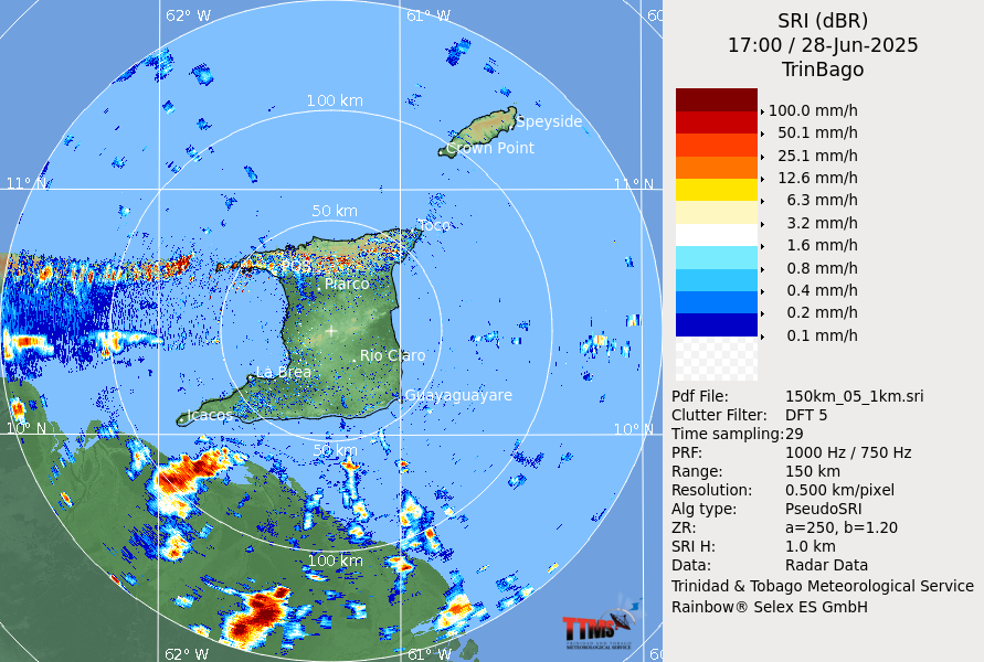
Bosse wrote:Radar working finally on pg.1
Bosse wrote:Radar working finally on pg.1


maj. tom wrote:20,000 people have been left homeless or in severely damaged buildings in Grenada and St Vincent and the Grenadines (SVG) following the passage of Hurricane Beryl.
https://newsday.co.tt/2024/07/11/20000-left-homeless-in-svg-grenada/

Les Bain wrote:Internet Explorer here.
What happened to the weather system that was riiiiight behind Beryl?